
 Mikhaylovka
Dyrestuy
Mikhaylovka
Mayskiy
Novobessergenevka
Tersky District
Lesnoy
Tertezh
Kuz'minskiye Otverzhki
Mikhaylovka
Dyrestuy
Mikhaylovka
Mayskiy
Novobessergenevka
Tersky District
Lesnoy
Tertezh
Kuz'minskiye Otverzhki
Zelenokumskiy Krayevedcheskiy Muzey on the map, Zelenokumsk, Russian Federation
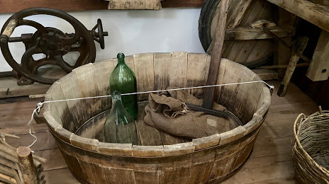
Photo
Where is located Zelenokumskiy Krayevedcheskiy Muzey
Zelenokumskiy Krayevedcheskiy Muzey — local attraction, which is located at Ленина ул., 72-а, Zelenokumsk, Stavropol Krai, 357910 and belongs to the category — museum. Average visitor rating for this place — 4.3 (according to 29 ratings, information from open sources and relevant for 2022).
Exact location — Zelenokumskiy Krayevedcheskiy Muzey, marked on the map with a red marker.
You can get directions to Zelenokumskiy Krayevedcheskiy Muzey on the map from your location.
What else is interesting in Zelenokumsk? You can see all the sights if you go to the city page.
Coordinates
Zelenokumskiy Krayevedcheskiy Muzey, Russian Federation coordinates in decimal format: latitude — 44.40534955531919, longitude — 43.878759797888854. When converted to degrees, minutes, seconds Zelenokumskiy Krayevedcheskiy Muzey has the following coordinates: 44°24′19.26 north latitude and 43°52′43.54 east longitude.
Nearby cities
The largest cities that are located nearby:
- Pyatigorsk — 77 km
- Nalchik — 105 km
- Kislovodsk — 107 km
- Cherkessk — 146 km
- Nazran — 151 km
- Nevinnomyssk — 155 km
- Stavropol — 164 km
- Vladikavkaz — 167 km
- Elista — 212 km
- Khasavyurt — 253 km
- Kutaisi
 (Georgia) — 258 km
 - Maykop — 299 km
- Tbilisi (Georgia) — 308 km
- Makhachkala — 334 km
- Sochi — 345 km
- Batumi (Georgia) — 358 km
- Volgodonsk — 365 km
- Astrakhan — 385 km
- Krasnodar — 389 km
Distance to the capital
Distance to the capital (Moscow) is about — 1338 km.